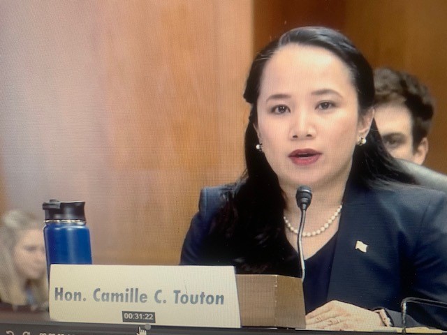
U.S. Bureau of Reclamation Commissioner Camille Touton testifies during a June 14 hearing of the Senate Committee on Energy & Natural Resources focused on the drought affecting the Southwestern U.S. and specifically the Colorado River. Commissioner Touton testified that as much as 2-million to 4-million acre-feet of conservation would be needed in 2023 as a short-term action to support water levels in Lake Mead and Lake Powell.
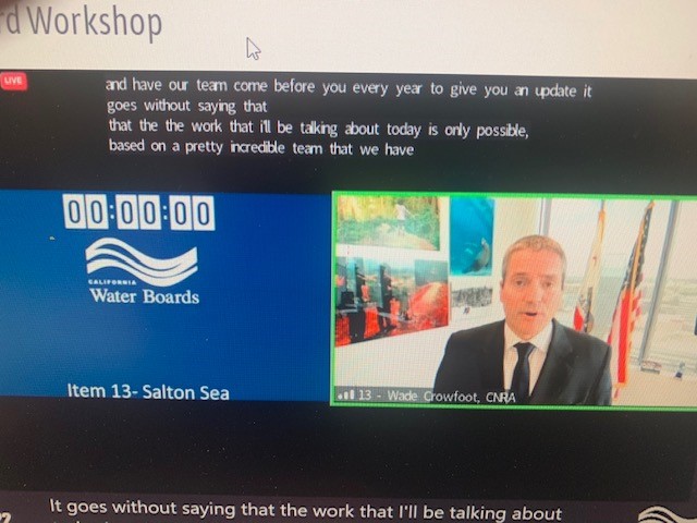
With the Colorado River hydrology continuing to decline, stakeholders on the river find themselves in the challenging position of having to think about both the near-term actions needed to protect the key reservoirs, Lake Mead and Lake Powell, and the long-term operations of the river. With an eye toward the long-term operations, the Bureau of Reclamation has begun seeking public input ahead of the upcoming National Environmental Protection Act (NEPA) process to develop the next set of guidelines that will Read More